2. From Les Clots refuge to Les Mouterres and Le Fay refuges via the Plateau d'Emparis
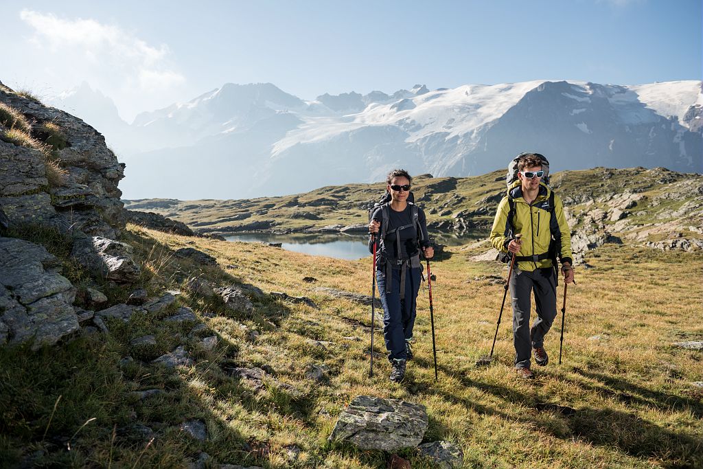
Stand back and move away from the Massif des Ecrins to get a better view of it. This is the goal of the day. Walking across the Plateau d'Emparis, in the midst of the ewes, surrounded by legendary summits. Go up above the Romanche valley, take your time and take photos, with each one better than the last. Make the most of this unique view over Les Ecrins.
Description
- Follow the pastoral track as far as the chalets in Le Fay (2,258 m).
- From the refuge, continue upwards to the confluence of the mountain streams and then turn right into the footpath (GR54).
- Follow the first footpath on the right (not the GR) leading to Lake Noir and Lake Lerié. The footpath is not clearly marked in the beginning, and first leads to the little crystal-clear lake (2360 m) across blocks of rock. Carry on upwards to a sloping ledge, leave the path that continues to the left, and you will arrive at the banks of Lake Noir. Here you can admire an exceptional view over the glaciers of Les Ecrins and La Meije (3,983 m).
- Continue as far as Lake Lerié, due east. At the next intersection, turn off the right-hand path onto the GR54 downstream from the Col du Souchet. You get to the GR54 by climbing upwards on the left.
- From Col du Souchet (2,365 m) go down to the crossroads along a track just before the Rif Blanc mountain stream (2,190 m).
- Walk down to the left, along the Rif Tort, towards the Mouterres and Le Fay refuges.
- Departure : Les Clots refuge
- Arrival : Les Mouterres and Le Fay refuges
- Towns crossed : Mizoën and La Grave
Altimetric profile
Sensitive areas
Golden eagle
- Impacted practices:
- Aerial, , Vertical
- Sensitivity periods:
- JanFebMarAprMayJunJulAug
- Contact:
- Parc National des Écrins
Julien Charron
julien.charron@ecrins-parcnational.fr
Information desks
Oisans Park house
Rue Gambetta, 38520 Le Bourg d'Oisans
Video presentation of the natural resources of the Oisans mountain and its crafts. Information, documentation about the Park, projections, reading space for children. Accessible to people with reduced mobility. Free admission. All animations of the Park are free unless otherwise stated.
Source

Report a problem or an error
If you have found an error on this page or if you have noticed any problems during your hike, please report them to us here:

