4. From the Mouterres and Le Fay refuges to Mizoën
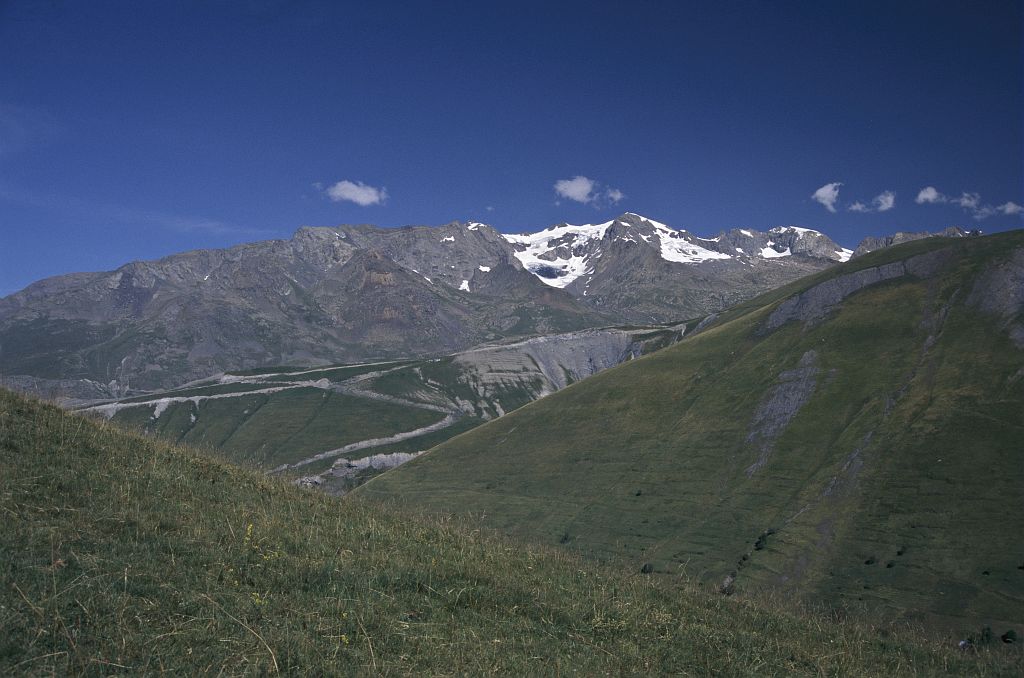
Little by little, we return to civilisation. We leave the extraordinary panorama of the summits and return to encounter human beings. The people who have lived in the mountains and who live there still. People who have shaped the steep slopes with their terraces, their villages. Who have worked on the land to make a living in tough conditions. Who created the path where we are walking today.
Description
- Pass the footpaths on the right. Cross the track and continue along the footpath. The path is not clearly marked at first on the bare rock and is then much deeper.
- At the first intersection go straight on. At the second intersection, turn left and cross the stream, then walk alongside it on the left bank for 200 m, before crossing back to the right bank. Avoid the numerous droveways and follow the banked path (some sections may be slippery when it rains (logs)). You pass under the ruins of the locality called "L'Alpe".
- After 400 m, cross the track and go under the former Refuge des Chatons (today a shepherd’s house). Cross the track again. The path, after a few loops in the Alpine pasture, continues in an area of schists for 400 m.
- Pass the oratory, then the Alpe du Pin house. Continue along the path for 600 m and you will again come to the track at La Pointe du Jour (or ‘Daybreak’, a locality so called because it is the first place to be reached by the sun’s rays). The path continues just below the spring.
- When you see the first houses in the village of Singuigneret, at the oratory, turn left onto the tarmac road. In the village, turn right and, lower down, again cross the road to Mizoën on the right. When you arrive at the Saint-Claude oratory, after 300 m, you will join up with the path from the first stage.
- Walk along the road to Mizoën for 20 m. The footpath veers to the left below the road before arriving in the village.
- Departure : Les Mouterres and Le Fay refuges
- Arrival : Mizoën
- Towns crossed : Mizoën and Besse
Altimetric profile
Sensitive areas
Short-toed snake eagle
- Impacted practices:
- Aerial,
- Sensitivity periods:
- MarAprMayJunJulAugSep
- Contact:
- Parc National des Écrins
Julien Charron
julien.charron@ecrins-parcnational.fr
Information desks

Oisans Park house
Rue Gambetta, 38520 Le Bourg d'Oisans
Video presentation of the natural resources of the Oisans mountain and its crafts. Information, documentation about the Park, projections, reading space for children. Accessible to people with reduced mobility. Free admission. All animations of the Park are free unless otherwise stated.
Source

Report a problem or an error
If you have found an error on this page or if you have noticed any problems during your hike, please report them to us here: