Tour of the Combeynot Peaks in three days
3 steps
Description
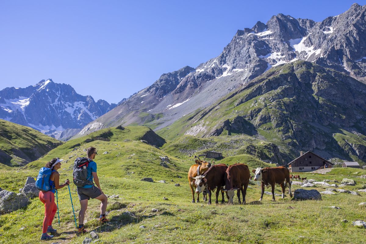
The Tour starts at the Col du Lauteret and quickly joins the Sentier des Crevasses taking hikers along the mountain side above the Romanche valley until they reach the L'Alpe de Villar refuges. The route then enters a small valley, following the Romanche up to its source.
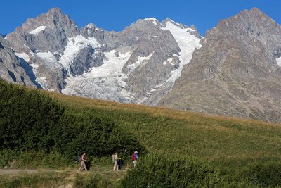
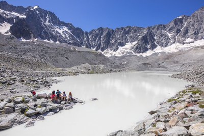
For the second stage, make your way uphill from the Plan de l'Alpe refuges and cross several water courses before you reach the Col d'Arsine, where it is possible to get to the lakes formed by the glaciers of the same name. At this point, the backdrop is a high mountain landscape. The trail then leads over into the Guisane valley, in a long descent down to the village of Le Casset which is the end of the stage.
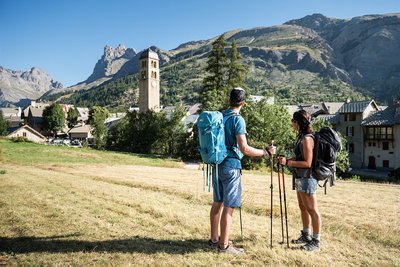
On the last day, the ancient track follows the Guisane, passing through various hamlets, in particular Le Lauzet. From here, the route follows the GR®50 as far as the Col du Lauteret.
- Departure : Col du Lautaret
- Arrival : Col du Lautaret
- Towns crossed : Villar-d'Arêne and Le Monêtier-les-Bains
Altimetric profile
Recommandations
 In mountain pastures, protection dogs are there to protect the herds from predators (wolves, etc.).
When I hike I adapt my behavior by going around the herd and pausing for the dog to identify me.
Find out more about the actions to adopt with the article "Protection dogs: a context and actions to adopt".
Tell us about your meeting by answering this survey.
Information desks

Information center "Col du Lautaret" (summer only)
Col du Lautaret, 05220 Le Monêtier-les-bains
Under the gaze of the Meije (3983 m) and surrounded by beautiful meadows celebrated in the great names of botany, the former hospice of the Lautaret called "refuge Napoleon" houses the reception and information Park center - Projections, documentation, books of the Park. Accessible to people with reduced mobility. Free admission.

Information center "le Casset" (summer only)
Le Casset, 05220 Le Monêtier-les-bains
At the entrance of the hamlet of "le Casset" and near the core zone of the Park, a stop before or after your walk... Projections, documentation, books of the Park. Free admission. All animations of the Park are free unless otherwise stated.

Maison du Parc du Briançonnais
Place Médecin-Général Blanchard, 05100 Briançon
Located at the foot of the medieval town fortified by Vauban, declared World Heritage by UNESCO in 2008, the Maison du Parc Briançon is a welcoming place of information exchange. Three floors of exhibition to discover : the natural and cultural heritage, the museum of the history of skiing in Briançon. Documentation, maps, guidebooks, books and products of the Park. Guided tours for groups by reservation. Free admission.
Transport
Auvergne-Rhône-Alpes bus lines : https://carsisere.auvergnerhonealpes.fr/
Isère bus lines : https://www.itinisere.fr/
Access and parking
From Briançon, take the D1091 following signs towards Grenoble. Pass through Monêtier-les-Bains and continue straight on until you reach the Col du Lautaret.
From Grenoble, take the D1091 following signs for Bourg d'Oisans; then carry on towards La Grave and climb up to the Col du Lautaret. Note that if the Chambon tunnel is closed, you will have to take the relief road.
Parking :
More information
Source

Report a problem or an error
If you have found an error on this page or if you have noticed any problems during your hike, please report them to us here: