The Pays des Écrins Super Noir (trail no. 15)
Breathtaking panoramas, paths hugging iconic peaks, high lakes, alpine meadows, larch forests… Cover more than 100 kilometres through the Pays de Écrins to discover the diversity of this region in terms of landscapes and flora and fauna
Attachment
- Downloadpdf
topo trail 15
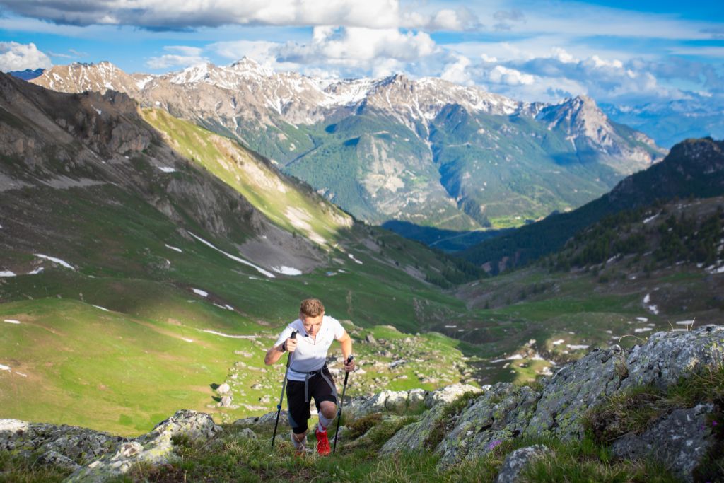
Credit: JL
3 steps
Description
This trail route takes you on a complete circuit of the Pays des Écrins, through the many valleys that make up this region!
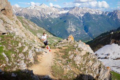
- The first stage crosses the Durance valley before rising uphill towards Montbrison and passing over into the Vallouise valley. The route continues via the Col de Vallouise and on to Ailefroide, offering an unrivalled view of Mont Pelvoux. As you pass through Ailefroide, take the opportunity to admire this ancient hamlet with its alpine pastures, which has lost none of its charm and is surrounded by high granite walls. This stage culminates with a stretch along the Gyr until you come to Vallouise.
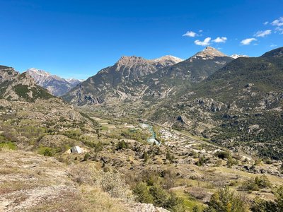
- The next stage runs from Vallouise to Puy Saint-Vincent. After passing through the larch trees at the Col de la Pousterle, you cross another two wild valleys, the valleys of Le Fournel and Freissinières. After running beneath the cliffs of the Tête de Gaulent, the route continues on to Champcella, a pretty crossroads between the valleys of Freissinières and La Durance.
- After passing through La Chapelle de Rame and La Roche-de-Rame, this last stage closes the loop in beautiful fashion with an ascent up to Lac de l'Ascension. You then have to reach Saint-Martin-de-Queyrières to complete this circuit of more than 100 km.
- Departure : L’Iscle de Prelles campsite, Saint-Martin-de-Queyrières
- Arrival : L’Iscle de Prelles campsite, Saint-Martin-de-Queyrières
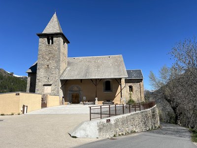
- Towns crossed : Saint-Martin-de-Queyrières, Puy-Saint-André, Vallouise-Pelvoux, Puy-Saint-Vincent, Les Vigneaux, L'Argentière-la-Bessée, Freissinières, Champcella, and La Roche-de-Rame
Altimetric profile
Recommandations
This route can be undertaken in several Stages, in the form of a rambling circuit.
The GPS track starts in Saint-Martin-de-Queyrières but the trail can be started at any welcome centre (“Base d’Accueil”) within the Pays des Écrins.
The N94 is a dangerous and busy road, take care when crossing it.
Before setting off, it is very important to check the opening periods for this route on the website: https://stationdetrail.com/fr/stations/le-pays-des-ecrins/parcours
Share your photographs on social networks with #stationdetrailecrins
Check weather conditions before setting off
Rescue services contact details: Secours Montagne (Mountain Rescue): +33 (0)4 92 22 22 22 or 112
Show consideration for the work of farmers, livestock keepers and owners
Close all gates behind you
Take your litter home
Do not take shortcuts across pastureland
The trail routes are also suitable for walking
Information desks

Vallouise Park house
, 05290 Vallouise
Information, documentation, models, exhibitions, screenings, product sales and works of the Park. Guided tours for school, reservation required. The new Park House opened in Vallouise since June 1, and offers visitors an interactive permanent exhibition inviting to explore the area and its heritage. A temporary exhibition space will allow a renewed offer. Finally, the device is completed by an audiovisual room to organize screenings and conferences Free admission. All animations of the Park are free unless otherwise stated.

23 Avenue de la République, 05120 L'Argentière-La Bessée
Transport
Public transport >> www.pacamobilite.fr
Consider car-sharing >> www.blablacar.fr
For more information, ask at the Tourist Information Office nearest to the trail starting point.
Access and parking
10 km from L'Argentière-La Bessée, take the N94.
Parking :
More information
Source

Report a problem or an error
If you have found an error on this page or if you have noticed any problems during your hike, please report them to us here: