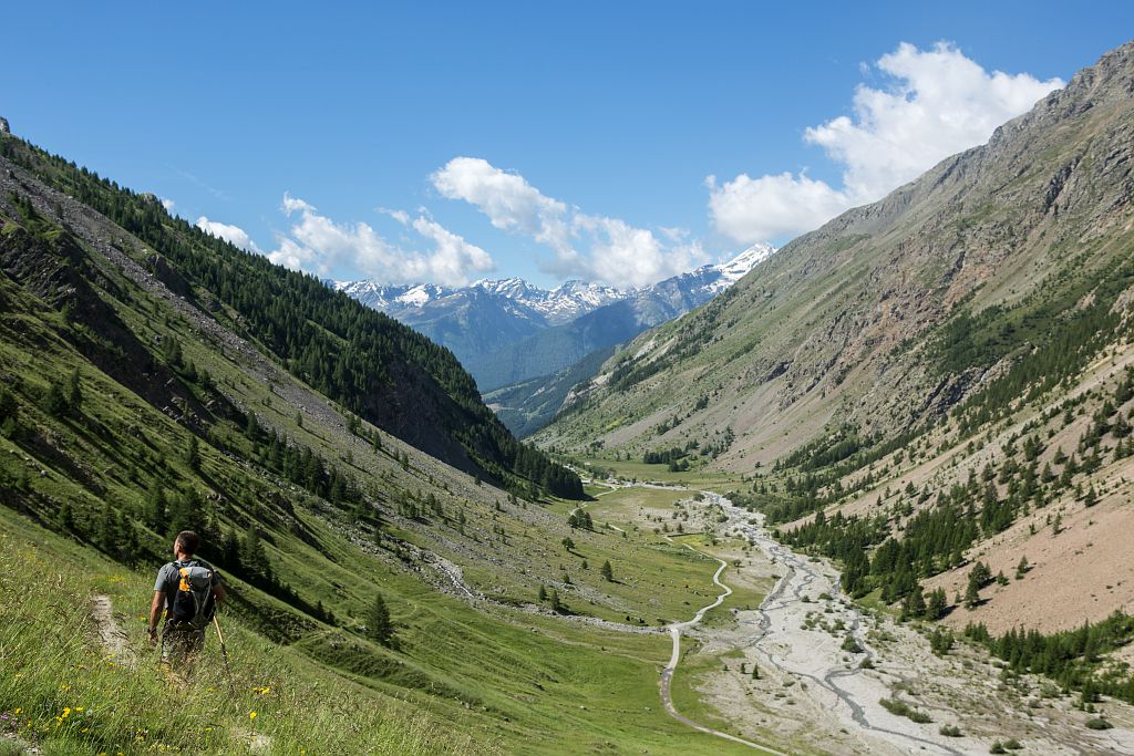
GR®54 - Tour of L'Oisans and les Écrins starting from La Grave
14 steps
Description
- Departure : La Grave
- Towns crossed : La Grave, Villar-d'Arêne, Le Monêtier-les-Bains, Vallouise-Pelvoux, L'Argentière-la-Bessée, Champoléon, La Chapelle-en-Valgaudemar, Villar-Loubière, Valjouffrey, Les Deux Alpes, and Mizoën
Altimetric profile
Recommandations
The best period for undertaking this tour is from late June to mid-September.
Find out about weather and snow conditions on the passes in early summer.
Some stretches, in the upper reaches of the mountains, pass through tricky terrain.
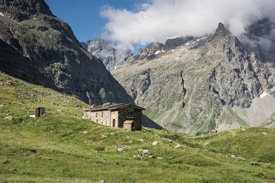
It is possible to bivouac along the route of the Tour (see the regulations for the heart of the National Park) or to overnight at campsites, hotels, gîtes or refuges.
The Stages require that you carry your own food.
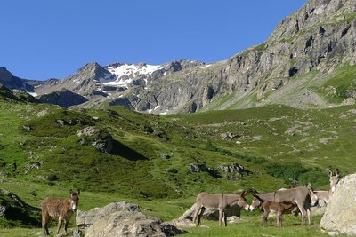
 In mountain pastures, protection dogs are there to protect the herds from predators (wolves, etc.).
When I hike I adapt my behavior by going around the herd and pausing for the dog to identify me.
Find out more about the actions to adopt with the article "Protection dogs: a context and actions to adopt".
Tell us about your meeting by answering this survey.

Transport
By train : www.voyages-sncf.com
By bus :
Bus lines in Région Sud : https://zou.maregionsud.fr/
Bus lines in Auvergne-Rhône-Alpes : https://carsisere.auvergnerhonealpes.fr/
Bus lines in Isère : https://www.itinisere.fr/
Access and parking
From Grenoble:
80 km along the RD1091, following signs for the resorts of L'Oisans / La Grave / Briançon
From Gap:
120 Km along the RN94, following signs for Briançon; then the RD1091 following signs for Grenoble via the Col du Lauteret
Parking :
More information
Source

Report a problem or an error
If you have found an error on this page or if you have noticed any problems during your hike, please report them to us here: