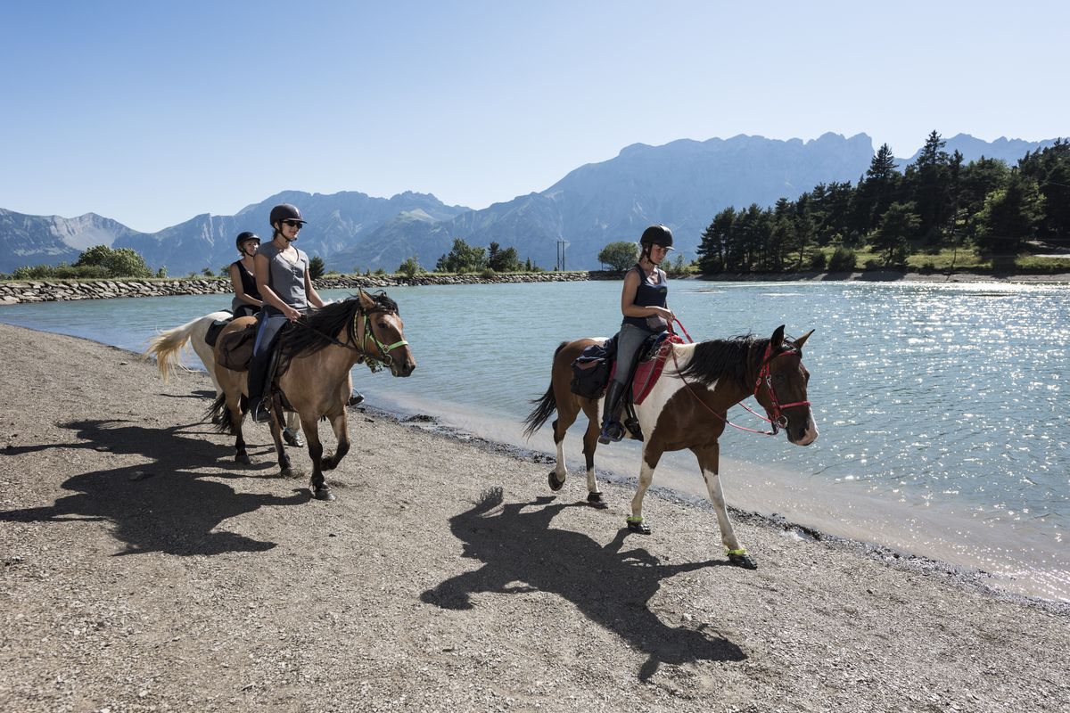
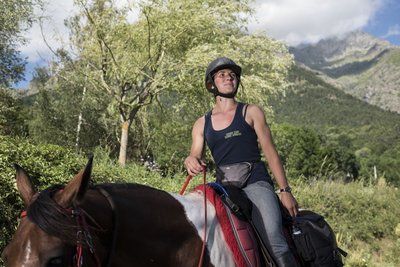
Tour du Champsaur-Valgaudemar
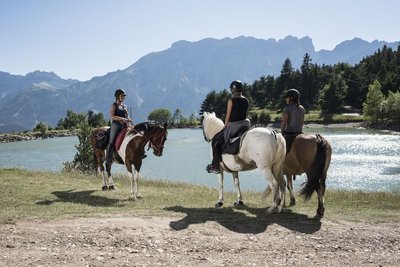
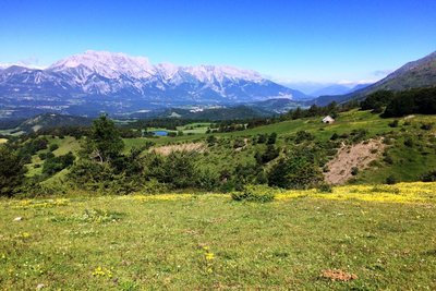
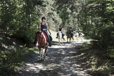
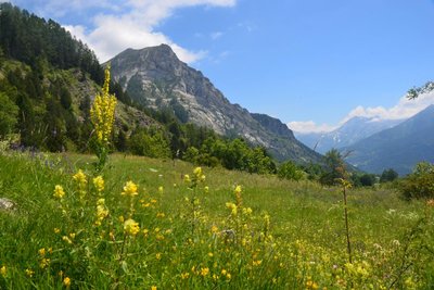
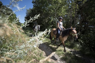
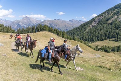
Experience the best of the Champsaur and Valgaudemar valleys on horseback, what an appealing prospect! This route, which circles around the Drac river, takes you from the banks of turbulent mountain streams to balcony pathways with unrivalled views and offers unique landscape environments. Wend your way at your own pace through forests and hedged farmlands, surrounded by towering peaks, each more magnificent than the last, and a preserved built heritage bearing testimony to a long history of mountain life. A delight for horse and rider alike.
10 steps
Description
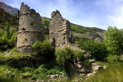
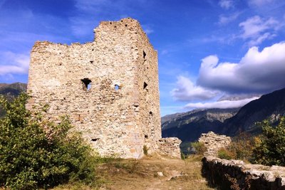
From Bayard, head uphill to the Col de Gleize, taking the time to enjoy beautiful views over the Gap region. The route continues through woods as far as Le Noyer and then on through the agricultural plain to the Château de Lesdiguières. After the Lac du Sautet, head downhill through the woods and then uphill to St-Firmin. At Le Séchier, follow the Canal des Herbeys. Return to the Champsaur and the Petit Chaillol at the Lac de Roaffan, ride through the wooded landscapes as far as Charbillac and then take to the heights though the unspoilt surroundings of Les Infournas and the Maison Forestière de Subeyrannes. Drop back down towards St-Bonnet past the Lac de Barbeyroux and carry on through this farming valley until you reach Chabottonnes. Head uphill towards Chaillol and then carry on, overlooked by the Aiguilles de Famourou and Le Palastre, until you come to the plateau of La Coche. Then drop back down to Le Clapier and follow the banks of the Drac Blanc until you reach Les Gondouins. Retrace your steps and follow the Drac Noir before reaching the Serre-Eyraud belvedere. Climb up to a higher level to follow the balcony track which passes through the fabulous alpine pastures of Combeau and takes you to the vantage point at L'Abeille. Drop back down to Saint-Léger-Les-Mélèzes and then follow the canal side until you come to the old railway line and Serre-Richard. Finally, return to the Bois de St-Laurent and the Bayard Plateau.
- Departure : Gap Bayard
- Arrival : Gap Bayard
- Towns crossed : Gap, Laye, La Fare-en-Champsaur, Poligny, Le Noyer, Le Glaizil, Aspres-lès-Corps, Saint-Firmin, Saint-Jacques-en-Valgodemard, Saint-Maurice-en-Valgodemard, Chauffayer, Les Costes, La Motte-en-Champsaur, Bénévent-et-Charbillac, Les Infournas, Saint-Bonnet-en-Champsaur, Saint-Julien-en-Champsaur, Buissard, Chabottes, Saint-Jean-Saint-Nicolas, Saint-Michel-de-Chaillol, Champoléon, Orcières, Saint-Léger-les-Mélèzes, Forest-Saint-Julien, and Saint-Laurent-du-Cros
Altimetric profile
Recommandations
Well-trained horses (changes in level, varied surfaces, duration, changeable climate); Some narrow and slightly slanting paths;
 In mountain pastures, protection dogs are there to protect the herds from predators (wolves, etc.).
When I hike I adapt my behavior by going around the herd and pausing for the dog to identify me.
Find out more about the actions to adopt with the article "Protection dogs: a context and actions to adopt".
Tell us about your meeting by answering this survey.
Access and parking
Parking :
Source

Report a problem or an error
If you have found an error on this page or if you have noticed any problems during your hike, please report them to us here: