3. From Aspres-les-Corps to Les Barangeards
Framed by mountains flanking deep valleys, the Valgaudemar welcomes hikers into its woods, through its meadows and along its canals. Along the way, there are some architectural gems to be admired, such as the railway bridge ("Pont de la Voie Ferrée") the Château de Saint-Firmin or simply the unspoilt hamlets with their chapels and water fountains.
Description
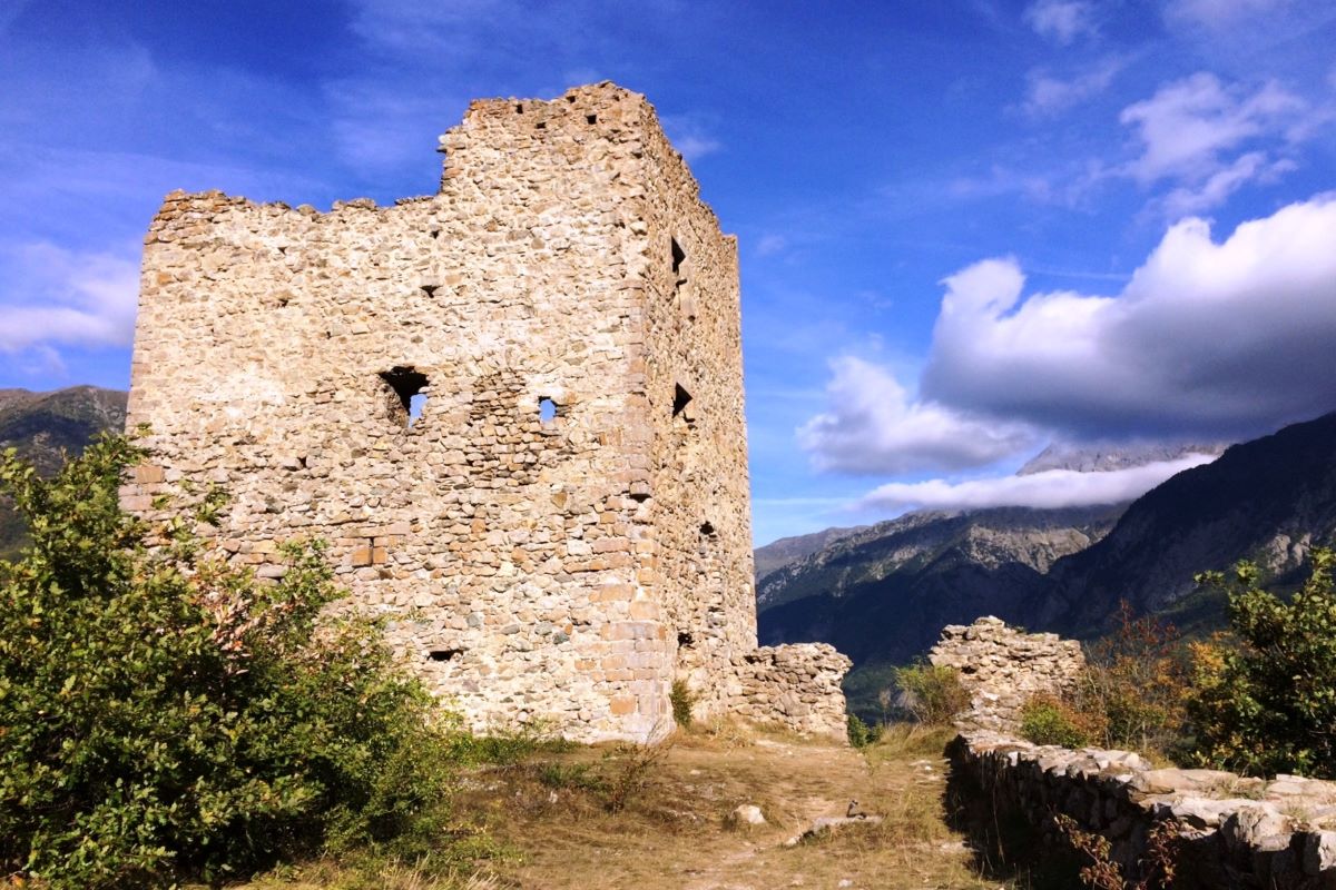
- As soon as you enter the village, take the Château discovery path ("Sentier de Découverte") which rises uphill to the left of the red house and has a few narrow stretches. The path emerges onto a wide track looking onto the Petit Chaillol mountain. Turn left. At the road, you can turn right for a (there-and-back) detour to admire the view from the Château de St-Firmin. Continue along the La Broue road.
- At Le Serre, take a narrow wooded uphill path on the left, still signposted towards the "Sentier de Découverte du Château". The path leads to La Villette, overlooked by the peaks of La Côte and Le Brasque. In Saint-Firmin, head downhill towards the bell tower and continue straight up as far as the cross (fire hydrant, dustbin, wash-house).
- Here, head uphill on the left, pass the 1801 fountain, cross the D58 and, when you reach La Grange, head towards Le Villard along the grassy track on the right after the last house. At Le Ponteil, the tracks intersect: carry on straight ahead over level terrain. Cross the ford and the reservoir, continuing straight on. After the second ford crossing, follow the wall uphill until you reach Les Serres. At Les Serres, the GR50 joins the PR. Head downhill towards Le Villard following the GR50. Go straight through the hamlet of Le Villard and pass the chapel of Notre-Dame, still following the GR50 waysigns towards Moussuq. At Les Gardettes, stay on the GR50 heading towards Le Séchier along a fine gravel path that runs downhill into the forest.
- When it emerges on the D985 Route de La Chapelle, follow its right-hand side and then cross the road and cross the canal, following the GR50 along a narrow path edged by tall vegetation which runs through the meadows below Les Champs de Roussi and which comes out at the Pont du Séchier. Cross the Séveraisse and continue along the road until you reach a wooden sign pointing along a grassy track leading to St Jacques-en- Valgodemar. Before heading up this track, take a moment to admire the view over the Peak des Souffles and the Pic Turbat!
- At the École Du Séchier, continue to follow the GR50/GRP (regional long-distance trail) to the left, towards Lachaup. At the signpost for "Séchier Village", follow the sign for the Canal des Herbeys which takes you on a road on the right leading uphill (GR50/GRP). As you leave the hamlet of Le Séchier, stay on the forest track (mountain biking route, “VTT”) along the canal-side (some narrow and rocky stretches). At Lachaup, stay on the track heading for Les Barangeards. At the ford crossing (not difficult) avoid the footbridge and then go down the track leading to the D16 in Cloragne.
- Departure : Aspres-les-Corps
- Arrival : Les Barangeards
- Towns crossed : Aspres-lès-Corps, Saint-Firmin, Saint-Jacques-en-Valgodemard, and Saint-Maurice-en-Valgodemard
Altimetric profile
Sensitive areas
Peregrine falcon
- Impacted practices:
- Aerial, Vertical
- Sensitivity periods:
- FebMarAprMayJun
- Contact:
- Parc National des Écrins
Julien Charron
julien.charron@ecrins-parcnational.fr
Golden eagle
- Impacted practices:
- Aerial, , Vertical
- Sensitivity periods:
- JanFebMarAprMayJunJulAug
- Contact:
- Parc National des Écrins
Julien Charron
julien.charron@ecrins-parcnational.fr
Short-toed snake eagle
- Impacted practices:
- Aerial,
- Sensitivity periods:
- MarAprMayJunJulAugSep
- Contact:
- Parc National des Écrins
Julien Charron
julien.charron@ecrins-parcnational.fr
Recommandations
From the Tuile au Loups, retrace your steps until you reach the other side of Grimaudais. Turn left towards Aspres-les-Corps. Cross the N85 before the water treatment plant and follow the N85 uphill (there is a wide verge) towards Aspres. Take the first road on the right before the GAEC des Goudmarous (beef). Link from Brudour. From the gîte La Grange de Brudour, return to Aspres-les-Corps, head downhill towards the N85 and turn left after the GAEC des Goudmarrous towards Les Riolles.
Coming from Grimaudais, crossing the N85 in Aspres-les-Corps is tricky: exercise caution! The path below the fort of Saint-Firmin is narrow and unsound: follow its course and approach it via the road.
At the hamlet of La Broue, make the most of the water fountain, visit the chocolate factory and admire the rocky crags of La Côte.
Report a problem or an error
If you have found an error on this page or if you have noticed any problems during your hike, please report them to us here: