6. From Les Payas to Les Marrons
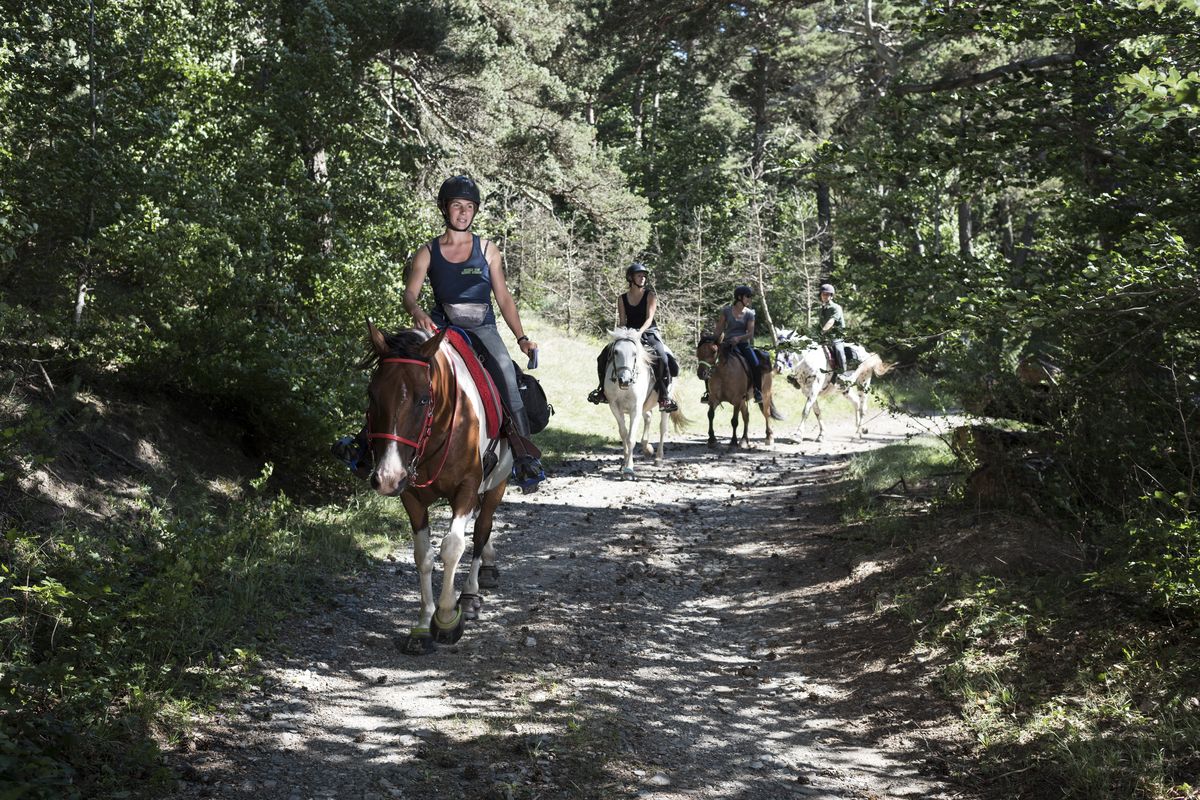
In the heart of the Champsaur and its livestock farms, explore a string of charming traditionally restored hamlets, passing along some beautiful flat and fast tracks, most of them shaded. From Chabottonnes, you will be enchanted by the climb towards Les Marrons and its beautiful vantage point looking onto the peaks and valleys. Culture enthusiasts will enjoy rowsing the open-air art exhibition on the L’Arbrespin path.
Description
- Follow the lake shore and carry straight on along the track which comes out at Le Chanet. Continue straight on along the Route du Champ du Rouy, passing the water fountain, the communal oven and the chapel, all remarkable features. Before you leave the village, take the grassy track leading down through the woods (mountain biking ("VTT") sign).
- When you reach Saint Julien-en-Champsaur, go down to the left and then turn left again in front of the church, on the Route de Chantaussel. Continue straight on, pass a first oratory (Rue des Oratoires) along a path which leads to a second oratory and the Saint-Julien road (D15). (Caution, fast-moving traffic!). Carry on along the D15 until you come to a junction (D15 roadsign).
- Turn right and turn off immediately onto a grassy track running downhill to the right. Join the road, turn right and continue on until you reach La Coustoune. Here, turn left onto the Chemin du Clavi (mountain biking ("VTT") route) heading towards Chabottes, along a good flat track. The track comes out onto a Y-shaped road (at Les Fouents): continue straight on downhill and, after the few houses in the hamlet of Les Roberts, take the track on the left and carry on through Ariey. After the Riou Mort river, go down to the right along the Chemin des Villettes and then turn left onto the Chemin des Ribières; carry straight on to the mill (Le Moulin). Cross the Route de Chaillol and take the Chemin de Prés Vieux along a flat and very easy track (Canal de St-Bonnet) until you reach the Chabottonnes mill (“Moulin”). Continue straight on until you reach Chabottonnes.
- Go left uphill and then right in front of the water fountain, heading towards the gîte. After the last house, the winding track is wide and drivable at first and then turns into a bumpy footpath which continues to rise uphill. The path joins a track which turns into a road below St Michel de Chaillol. Turn right before the church, go past the cemetery and the water fountain.
- Continue straight on between the houses along a grassy track leading towards L'Arbrespin (a thematic contemporary art discovery trail). Turn left onto this path which starts with 3 small steps and has two gates, which can be skirted around (but are easy to negotiate). As art discovery trail comes to an end, the track widens and levels out and offers some fine views over the meadows and the Vieux Chaillol mountain range. At the Sainte Anne oratory, take the road to the left, heading towards Les Marrons. Retrace your steps and follow the Riou Mort uphill until you reach the Le Chamois gîte.
- Departure : Les Payas
- Arrival : Les Marrons
- Towns crossed : Bénévent-et-Charbillac, Saint-Bonnet-en-Champsaur, Saint-Julien-en-Champsaur, Buissard, Chabottes, Saint-Jean-Saint-Nicolas, and Saint-Michel-de-Chaillol
Altimetric profile
Sensitive areas
Short-toed snake eagle
- Impacted practices:
- Aerial,
- Sensitivity periods:
- MarAprMayJunJulAugSep
- Contact:
- Parc National des Écrins
Julien Charron
julien.charron@ecrins-parcnational.fr
Short-toed snake eagle
- Impacted practices:
- Aerial,
- Sensitivity periods:
- MarAprMayJunJulAugSep
- Contact:
- Parc National des Écrins
Julien Charron
julien.charron@ecrins-parcnational.fr
Recommandations
Retrace your steps to the D23, Route de Challiol; follow it for 500 metres and turn right onto the road called "Chemin des Morts" leading towards L'Aulagnier.
From Les Rissents, above the chapel, the magnificent panorama over the Champsaur valley and the mountain range adorned by the Vieux Chaillol is worth the detour: go left up the D15B (there-and-back).
At Les Marrons, take a moment to admire the water fountain and the church which have been superbly restored.
Report a problem or an error
If you have found an error on this page or if you have noticed any problems during your hike, please report them to us here: