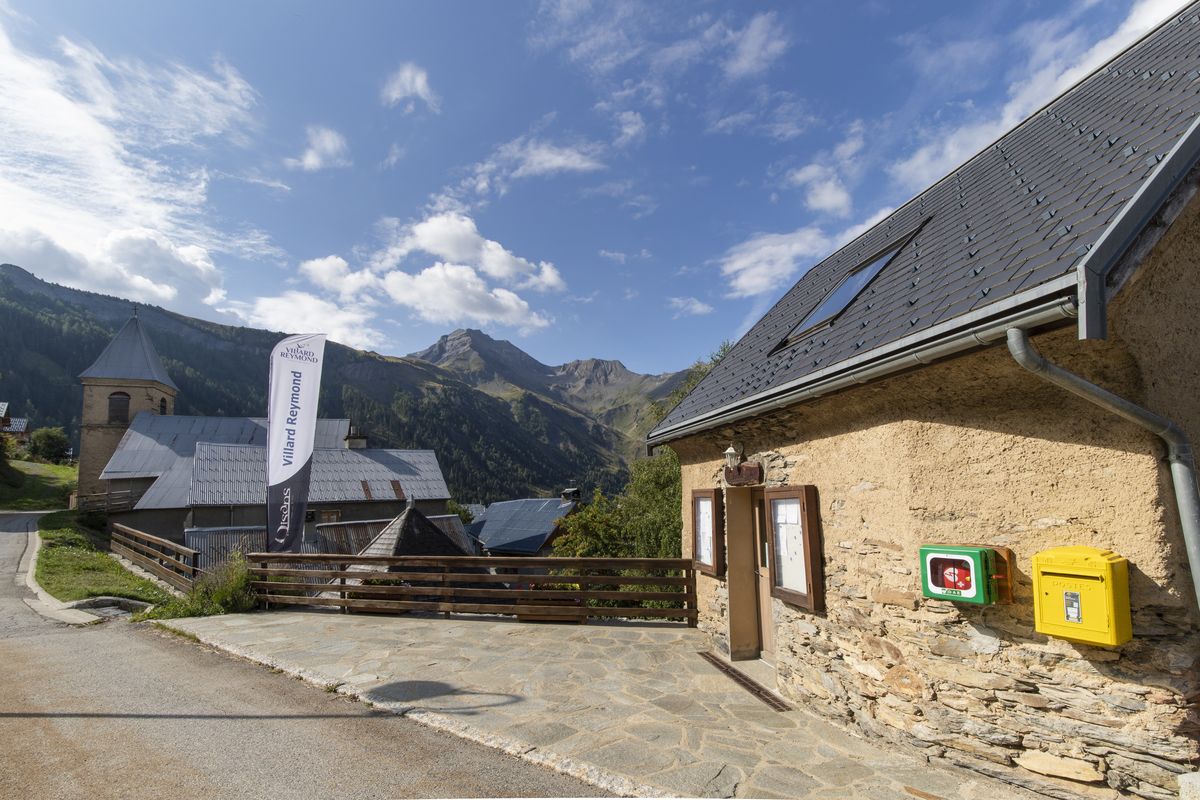
5. From Villard-Reymond to Taillefer Plateau
Description
- At 1,265 m, it arrives at the road and follows it down. Here you can enjoy some fine views over the gorge and the old road on the right bank.
- Then the path leaves the road (follow La Palud, GR50) before meeting up with it and leaving it again several times before you go through the village of Le Villaret.
- After the bridge over the River Lignarre, you pass in front of two travertine formations, then arrive at the village of La Palud d'Ornon. Go up the D526 for 50 m. Turn right into the alleyway and cross the village, and at the crossroads take the hairpin road and walk along the alleyway.
- Turn right into the pathway across the meadow and continue on the other pathway, also on the right (northwards), and winding its way through a beech forest and then a pine forest. A new series of sharp bends alongside a wet thalweg, then an upward crossing towards the north as far as the village of Ornon.
- Upstream from the village, take the pathway passing under the pylon and continue as far as the Terres Froides car park at 1,400 m.
- Continue on the path for 800 m, and then at the "L’Airette" crossroads, turn right into the path leading to the "Refuge du Taillefer". After a steep ascent, you arrive at the "La Buffe" crossroads at 1,780 m.
- Follow the sign for the "Refuge du Taillefer". The path goes below the impressive building of Le Carrelet then leads all the way to the refuge.
- Departure : Villard-Reymond
- Arrival : Taillefer shelter
- Towns crossed : Villard-Reymond, Ornon, and Oulles
2 points of interest

 Know-how
The Ornon slate mines
Near Ornon, the route regularly unveils slate deposits. These black rock sheets are commonplace here. Slate was for a long time mined, providing a certain amount of prosperity to the village. A century ago, 9 quarries employed 250 people. The slate was used for roofs, but their quality was much in demand, and sometimes was exported. The quarries were worked in the winter, since the workers were farmers the rest of the year. Industrial materials began to compete with natural slate, and mining came to a halt in about 1950.
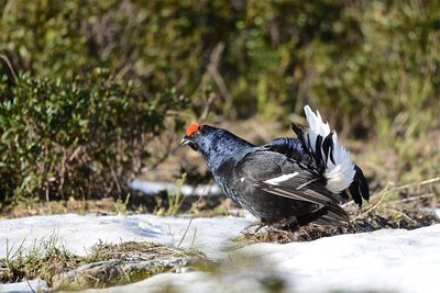
Tétra-Lyre en parade - © Parc national des Ecrins - Rodolphe Papet  Fauna
FaunaThe black grouse
To observe black grouse in summer, you need to get up early. In France, black grouse (or blackcocks) can only be found in the Alps. In spring, the male with its black plumage and lyre-shaped tail with white under-tails parades to attract females. In winter, they spend most of their time in igloos dug out of the snow to protect themselves from the cold. This is a particularly sensitive period because they cannot replenish the energy used up when they must leave their igloos suddenly if an off-piste skier or show-shoe hiker passes by.
Altimetric profile
Recommandations
Do not park under the slabs, as there is a risk of falling rocks.
Be careful, the trail can be slippery, especially when crossing slabs or streams on the descent to Ornon.
Source

Report a problem or an error
If you have found an error on this page or if you have noticed any problems during your hike, please report them to us here: