3. From Le Casset to the Buffère shelter
Description
- Then, from the Chapel of Saint-André turn left again onto the Rue de la Petite Turière and carry on until you come to the Rue de l'École and the Route de Grenoble, which you cross over to the town hall. Turn left onto the Rue du Château which runs past the church and leads you straight on towards the building La Rotonde.
- Opposite this, go across the field and take the Route Saint-Joseph which joins the roads leading towards the Vallon de la Moulette (signed). This soon turns into a path which continues to rise towards the forest. After entering the forest, at the first intersection turn left, still heading towards the Vallon de la Moulette (signed). The footpath winds gently uphill, passes a hut and comes out onto the Plateau des Conchiers and its alpine pastures. Here, turn left towards La Moulette (signed). The path runs into a relatively wide track which rises steadily up to La Moulette (signed). Join the GR50 and then the GR57 and fork right towards the Col de Buffère.
- The track drops back downhill for a short distance before rising again; ignore the GR50 on the right. Before the pass, the path becomes rather steep. At the pass, head back downhill, ignoring the bunker on the left, heading towards the Buffère refuge (signed). The footpath is rather steep and stony at the top, but levels off gradually further down. The roofs of the chalets of Buffère come into view. The GR is clearly signposted and runs evenly and directly to these chalets.
- Departure : Le Casset
- Arrival : Buffère shelter
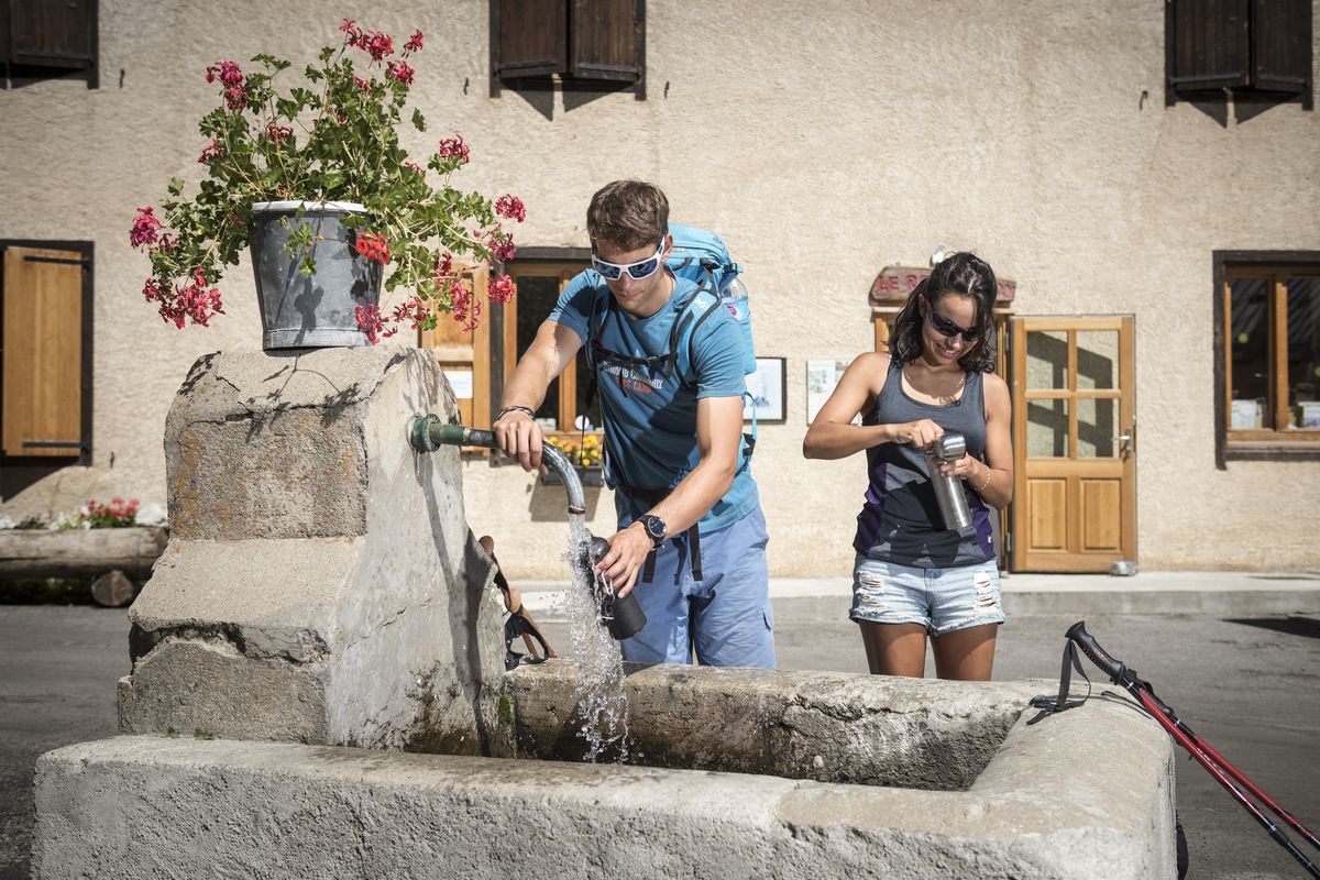
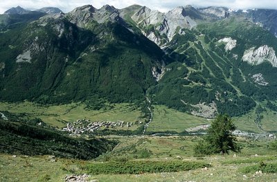
- Towns crossed : Le Monêtier-les-Bains and Névache
4 points of interest
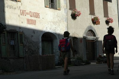
Dans le hameau du Casset - PNE - Masclaux Pierre  History
Le Casset
At the entrance to the valley, Le Casset is a stone shell village surrounded by farming landscapes. Its name comes from the verb 'cassare' ('to break, to shatter' in late Latin), describing a place covered with stones. In fact there are many such villages in this mountain valley carved out by a vast glacier. Le Casset, on the left bank of the Guisane, is sheltered from avalanches beneath the watchful eye of the prestigious summits and glaciers that “move” in a different time scale from our own.
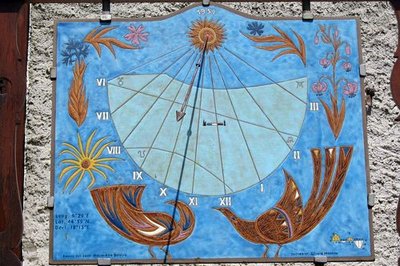
Cadran solaire au hameau du Casset - Claire Broquet - PNE  Architecture
Sundials
As you walk through the village of Lauzet, you will see recently made sundials made in traditional style. Easy to see from the main village streets, they adorn the beautifully restored facades of the old houses. Architecture
Saint Claude’s church in Le Casset
With its disproportionately high spire, the Casset church never goes unnoticed. Its four-sided Comtois steeple was modelled on the collegiate church in Briançon. The church is listed as a Historic Monument and is placed under the protection of Saint Claude. In its present condition, it dates from the 18th century. The previous building was constructed prior to the 16th century. Inside, the eye is immediately attracted by the choir ogives, creating an intimate atmosphere, particularly since the unusually large spire does not suggest an interior of such a small size. The choir was rebuilt in 1716-1717, probably after the previous chapel burnt down. Traces from this period can be seen on the keystone. The wrought-iron choir gate has the inscription "HM 1717", a date that can also be seen in the apse, on the wrought iron railing of the impost of the axial window, and on the baptismal font.
La station de Serre Chevalier 1500 au-dessus du hameau des Guibertes - © Parc national des Écrins - Jean-Pierre Nicollet HistoryThe Serre Chevalier resort
At the edge of the Ecrins National Park, the Serre Chevalier ski resort extends over several towns and villages on the right bank of the Guisane, from Monêtier-les-Bains to Briançon. Founded in 1941 with the Chantemerle cable car, it has the biggest ski area in the southern Alps with 61 ski lifts on all levels from an altitude of 1,200 m to 2,830 m to Pic de l'Yret (Le Monêtier-les-Bains). The resort’s logo is an eagle, in reference to Baron Borel du Bez, Briançon’s representative in 1792 at the Legislative Assembly, which ruled France between 1792 and 1795, during the French Revolution. Le Bez is a hamlet in Villeneuve that was united with the Chantemerle ski resort in the 1970s.
Altimetric profile
Recommandations
Information desks

Information center "le Casset" (summer only)
Le Casset, 05220 Le Monêtier-les-bains
At the entrance of the hamlet of "le Casset" and near the core zone of the Park, a stop before or after your walk... Projections, documentation, books of the Park. Free admission. All animations of the Park are free unless otherwise stated.

Tourist information office of La Clarée
Hameau de Ville-Haute, 05100 Névache
The office welcomes you from Monday to Saturday , from 9 a.m. to 12 p.m. and 1:30 p.m. to 5 p.m all year. The office is open every day during the summer holidays
Source

Report a problem or an error
If you have found an error on this page or if you have noticed any problems during your hike, please report them to us here: