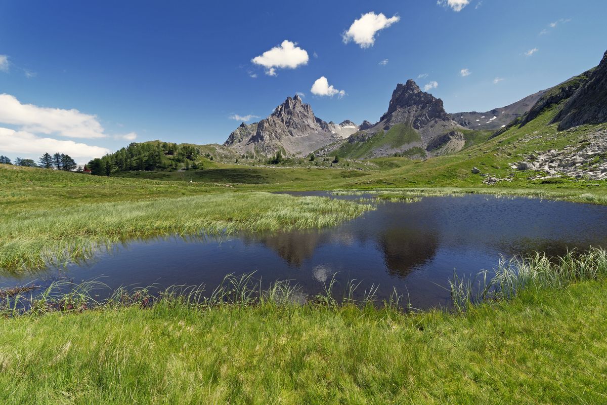
6-day tour between Écrins and Clarée
6 steps
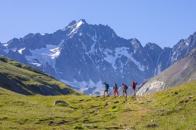
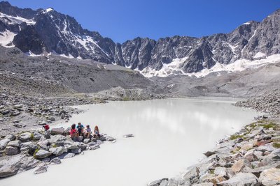
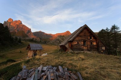
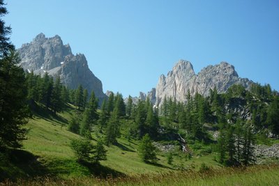
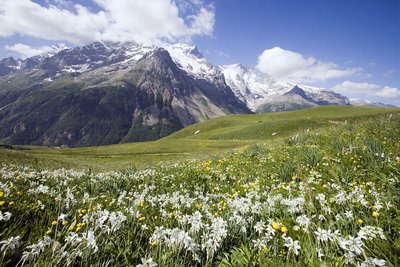
Description
- Departure : Col du Lautaret
- Arrival : Col du Lautaret
- Towns crossed : Villar-d'Arêne, Le Monêtier-les-Bains, and Névache
Altimetric profile
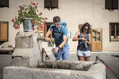
Recommandations
Protect yourself from the sun in high summer, even on more shaded routes. Take sun cream.

Information desks

Information center "Col du Lautaret" (summer only)
Col du Lautaret, 05220 Le Monêtier-les-bains
Under the gaze of the Meije (3983 m) and surrounded by beautiful meadows celebrated in the great names of botany, the former hospice of the Lautaret called "refuge Napoleon" houses the reception and information Park center - Projections, documentation, books of the Park. Accessible to people with reduced mobility. Free admission.

Information center "le Casset" (summer only)
Le Casset, 05220 Le Monêtier-les-bains
At the entrance of the hamlet of "le Casset" and near the core zone of the Park, a stop before or after your walk... Projections, documentation, books of the Park. Free admission. All animations of the Park are free unless otherwise stated.

Tourist information office of La Clarée
Hameau de Ville-Haute, 05100 Névache
The office welcomes you from Monday to Saturday , from 9 a.m. to 12 p.m. and 1:30 p.m. to 5 p.m all year. The office is open every day during the summer holidays

Route de Grenoble, 05220 Le Monêtier les Bains
Transport
Auvergne-Rhône-Alpes bus lines : https://carsisere.auvergnerhonealpes.fr/
Isère bus lines : https://www.itinisere.fr/
Access and parking
From Grenoble, take the D1091 towards Bourg d'Oisans and then continue straight on towards La Grave and on to the Col du Lautaret. Be aware that the Chambon tunnel is closed. You will have to take the emergency road.
Parking :
Source

Report a problem or an error
If you have found an error on this page or if you have noticed any problems during your hike, please report them to us here: