From Savines-le-Lac to Le Lauzet-Ubaye
Savines-le-Lac HardDifficulty
2. From Savines-le-Lac to Le Lauzet-Ubaye
5h
Duration29km
Distance+1340m
Positive Elevation-1267m
Negative ElevationStage
Course typeNetwork
Embed this item to access it offline
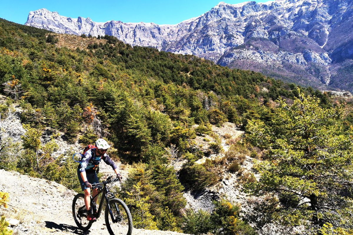
Old terraced pathways, deserted hamlets, a dolmen, an isolated cemetery, an unusual railway line... A landscape in which nature has come back into its own and which bears witness to its pre-lake past. Off the beaten track, the descent from the Ubaye cemetery will remain etched in your memory.
Description
At the butcher's, go left up the Rue Serre-Verger and then the Rue du Morgon, along the Barnafret mountain stream. 150 metres after the Font Femelle picnic area, turn right up the Les Blaches forest road until you come to Pierre Arnoux (viewing point, picnic area).
- Go past Pierre-Arnoux. At 100 metres, turn left and then climb up the track on the right (DFC1 H1). After the picnic area, leave the track and climb up the path on the left. Stay on the main path which is clearly signposted.
- After the steep rise (pushing), take the steep trail on the right. Stay on the main trail until you come to the water catchment. Head downhill (poorly marked path), cross the clearing to take a path on the left. At the four-track instersection, turn left. Stay on this path which cuts several times across skid tracks.
- After the mountain stream which runs under the path, take the path on the left which runs uphill (pushing). At Le Chauchais, turn right and right again and then head straight on downhill until you come to the Pontis road.
- At the Pontis road, head left up the D7 until you come to the Col de Pontis road mender's hut ("Cabane du Cantonnier "). At the hut, head left up the road. Stay on the main balcony track, heading towards Le Morgonnet. Go past the Chapelle Saint-Pierre (downhill from it) and above the hamlet of Les Hugues.
- 500 metres after the spring, plunge right onto the Pinet trail and, after the dry stone wall, take the hairpin path on the right. The descent is strewn with stones and becomes technical (take care).
- Above the hamlet of Le Villard, carry straight on along the regional GR ("GR de Pays"). (Access to the dolmen is on the right). At 100 metres, between the low walls, head downhill on the trail on the right. In the pasture, follow the cliff edge and then through the fence, (/!\ Feet on the ground required for 50 metres on the steep descent). Before the "wall", leave the GR by going downhill to your right until you come to the hamlet of Les Vallettes.
- At the ruins of Les Valettes, turn left and then, at the second ruin, follow the hairpin trail right along the mountainside.
- At the bend in the path, head right uphill for 250 metres before plunging left onto a trail (presence of a small cairn). Go down the ravine of Les Blaches, always keeping to the downhill option, until you come to the Ubaye cemetery.
- At the Ubaye cemetery, take the lakeside road on the left (D954), go past the first tunnel and the chain-up area before taking a left into the tunnel, along the trackbed of an unfinished railway line. Continue along the main track until you reach Le Lauzet.
- Towns crossed : Savines-le-Lac, Pontis, and Le Lauzet-Ubaye
Altimetric profile
Recommandations
A short detour to the belvedere of Pierre-Arnoux is very easy. The detour to explore the dolmen is more adventurous. There is a section where you need to be alert after the hamlet of Le Villard: a 50-metre stretch where putting a foot to the ground is recommended. Make sure you have a light for riding through the tunnels (the longest is 1.6 km).
The lake at Le Lauzet and its terrace... are very welcome after a day's pedalling!
The lake at Le Lauzet and its terrace... are very welcome after a day's pedalling!
Source

Parc national des Ecrinshttps://www.ecrins-parcnational.fr
Report a problem or an error
If you have found an error on this page or if you have noticed any problems during your hike, please report them to us here: