From La Bréole to Chorges
3. From La Bréole to Chorges
5h30
Duration45,2km
Distance+1515m
Positive Elevation-1590m
Negative ElevationStage
Course typeNetwork
Network
Embed this item to access it offline
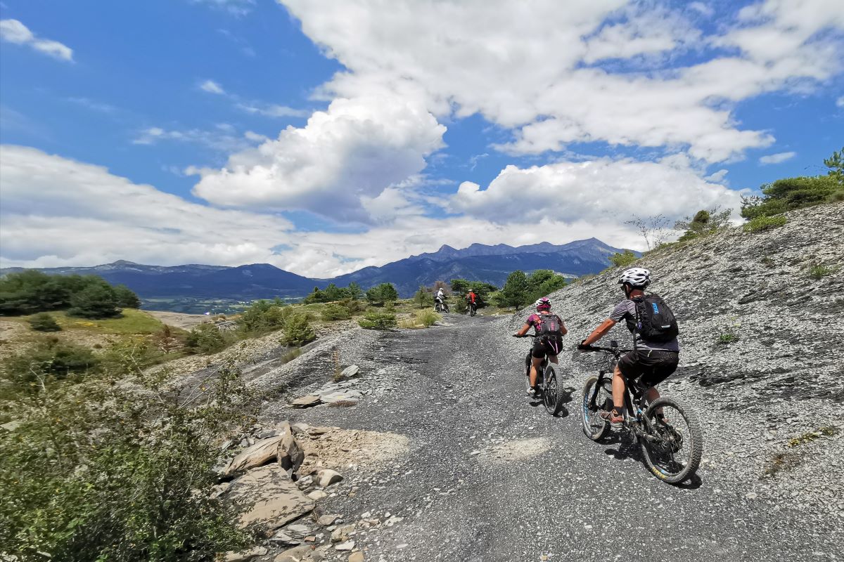
From the lake shores to wide-open peaks along spirited trails; this land will leave you with many memories: the essential "Ruban" (ribbon), its winding descent followed by balcony paths through the Terres Noires, Peyre-Grosse, its belvedere and its unique descent. The quid pro quo: you just have to pedal.
Description
From the village square go down the road right and before the La Gayesse bridge, turn left onto the path heading towards L'Escoubaye. Then go up the trail on the left through pine trees (roots, steep slope: walk mode possible).
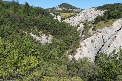
- After the belvedere of L'Escoubaye, go right along the hillside trail through the Terres Noires. Go left downhill to the path running along the edge of the fields and then onto the road until you come to the D900B.
- At the RD 900B /!\ turn left and then right onto the uphill track. At the edge of the wood (post numbered 9) take the path on the right and then head right downhill through the Terres Noires. When you come to the road, head left downhill towards the dam.
- Be alert. Before a left-hand bend, take the trail on the right. Then follow the lake shore until you come to the road (take care) and reach the roundabout in Rousset. At the roundabout, turn right and at the belvedere, go uphill to the left and through the village. At the Col de Pré du Laus, head uphill to the right and at the second hairpin bend continue left. Ride through the solar power plant.
- At the container, head uphill to the right and stay on the main track which takes you to the hamlet of Vière. After the descent from Vière, climb up the track on the right until you come to the Col de la Croix des Prés. At the col, take the first right (track 80) heading towards Clot Clavary. At the branching junction, head left uphill through a larch wood.
- At the Clot Clavary refuge hut, head uphill on the rightmost track (the "Chemin de la Procession") (pushing might be required). Then stay on the ridge track: "Le Ruban". (Medium battery level* > 39%).
- At Le Clos Charmantier, take the track running downhill opposite, towards Rousset. After a short descent, head uphill again to the left. On the descent, slow down to take a trail on the left which cuts through the bends.
- At the Col Lebraut, follow the road right for 50 metres and then turn left to join the trail leading up the hill. (Walk mode useful). At the RD3, head down the path on the right. At the end of the ridge, turn left onto the "les Yvans" trail (difficult trail).
- At the holiday centre, turn left and left again and head up the road (D403). At the car park, follow the trail running right downhill. When you come to the road, take the trail set back on the left.
- Turn right and then right again onto the road, heading towards Chorges (RD3). At the holiday centre (Les Horizons-du-Lac), turn left and then take the first right. At the hamlet of Le Villard, head up the path on the left. After the railway underpass, turn left onto the old road which takes you to Chorges.
- Towns crossed : Rousset, Espinasses, and Chorges
1 point of interest
Torrent d'addos - Amélie Vallier  Water
WaterAddos mountain stream
The Addos mountain stream (torrent in French) is 4 kilometres long. A mountain stream is a natural water course located in the mountains. The flow regime is characterised by a steep gradient, with a very fast and therefore turbulent water flow producing significant erosion. It is also defined by a significant variation in flow rate depending on precipitation levels. In this mountain stream, as in many others, numerous small sills (small dams) have been created to slow down the water flow and limit the impact of floods.
Altimetric profile
Recommandations
Ride in economy mode on this stage.
In Rousset, take the time to visit the Muséoscope du Lac and the water and energies visitor centre ("Maison de l’Eau et des Énergies"). Not a racing rider? Avoid the descent after the Col Lebraut
Lunch break possible at Le Ruban or Peyre-Grosse.
Consumption index*: 87% (economy riding)
In Rousset, take the time to visit the Muséoscope du Lac and the water and energies visitor centre ("Maison de l’Eau et des Énergies"). Not a racing rider? Avoid the descent after the Col Lebraut
Lunch break possible at Le Ruban or Peyre-Grosse.
Consumption index*: 87% (economy riding)
Information desks
Les Celliers, 05190 Rousset
Source

Parc national des Ecrinshttps://www.ecrins-parcnational.fr
Report a problem or an error
If you have found an error on this page or if you have noticed any problems during your hike, please report them to us here: