From Villar d'Arène to Aigle shelter (mountaineering)
Villar-d'Arêne HardDifficulty
1. From Villar d'Arène to Aigle shelter (mountaineering)
6h
Duration6,3km
Distance+2001m
Positive Elevation-253m
Negative ElevationStage
Course typeGrade F+ "Facile +" (easy, upper band) (35° on snow and II on rock), long mixed climb (snow/rock) with some clearly waymarked and very easy rocky sections, Vire Amieux ledge equipped with wire, crevassed glacial terrain.
Embed this item to access it offline
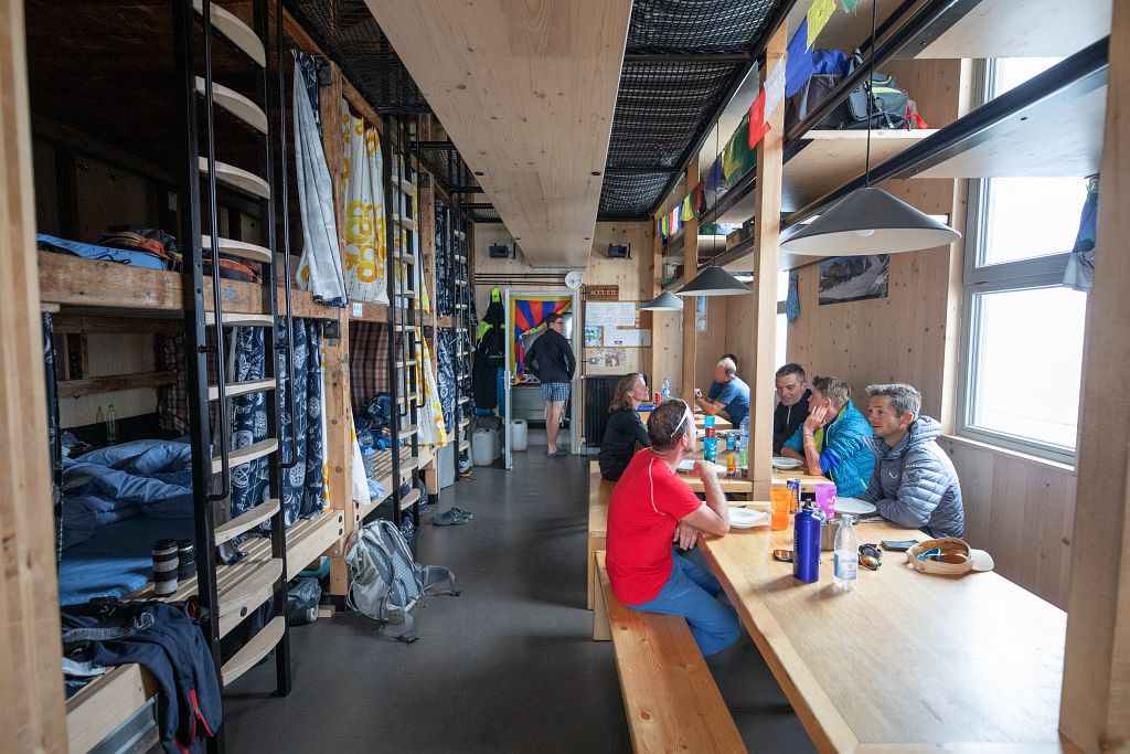
We're heading for l'Aigle, a hut perched on a rock at an altitude of 3450m, a hut that lives up to its name. L'Aigle is one of the legendary huts in the Écrins, and also the highest in the range, welcoming climbers who have come here to test their mettle on the many nearby ascents, including the Meije Orientale.
Description
After Villar-d’Arêne, take the Pied du Col road and turn right before the hamlet to Le Pont Vieux ou des Brebis 1,662 m. Park in the car park before the bridge. Immediately after crossing the Romanche, head right onto a well-made, well-worn trail (waymarked red) which winds steeply uphill. From L'Âne point 2,375, the trail is less clearly visible but still waymarked and cairned. Crossing rocky slopes and the névés of the Bec glacier, you come to the approach to the Col du Bec 3,065 m. Climb the north arête of the Bec de l'Homme on the left (red arrows, no grade II climbing), to the base of the Vire Amieux ledge (projecting shelf, 3,200 m, cairn), allowing descent via the right flank onto the Tabuchet glacier by a long traverse equipped with a wire. Once set foot on the glacier (tricky depending on the conditions), ascend its right side (crevasses) until you reach the Rocher de l'Aigle and the shelter.
- Departure : Le Pont des brebis
- Arrival : Aigle shelter
- Towns crossed : Villar-d'Arêne and La Grave
Altimetric profile
Sensitive areas
Along your trek, you will go through sensitive areas related to the presence of a specific species or environment. In these areas, an appropriate behaviour allows to contribute to their preservation. For detailed information, specific forms are accessible for each area.
Golden eagle
- Impacted practices:
- Aerial, , Vertical
- Sensitivity periods:
- JanFebMarAprMayJunJulAug
- Contact:
- Parc National des Écrins
Julien Charron
julien.charron@ecrins-parcnational.fr
Recommandations
The climb to the Aigle refuge is long and the difference in altitude considerable. Start early to give yourself plenty of room and avoid suffering too much from the heat. Up to the Col du Bec, the route follows a well-marked path. Then it's into the realm of the high mountains, where you need to find the route and progress safely (crampons, ropes). After the Amieux cable, access to the glacier can be tricky in late summer when the mountain is dry. If you arrive late at the refuge, it is advisable to sleep there (booking essential). Without climbing one of the summits of the Meije, it is possible to do two short loops on the glacier before descending into the valley: the Tête des Corridors 3734m or the col du Serret du Savon 3571m.
Is in the midst of the park
The national park is an unrestricted natural area but subjected to regulations which must be known by all visitors.

More information
Source

Parc national des Ecrinshttps://www.ecrins-parcnational.fr
Report a problem or an error
If you have found an error on this page or if you have noticed any problems during your hike, please report them to us here: